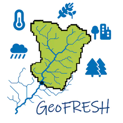
 The GeoFRESH platform
We have developed the GeoFRESH online platform, available at http://geofresh.org/ that supports point data processing across the global river network by providing a set of spatial tools. GeoFRESH was a one-year pilot project funded by NFDI4Earth (DFG) and IGB.
GeoFRESH allows to
- map your points,
- move points to the nearest stream network segment,
- delineate upstream catchments of each point,
- extract a suite of environmental attributes across the catchment,
- and download the data for further analyses.