Freshwater habitat regionalization
Clustering the world’s freshwater habitats
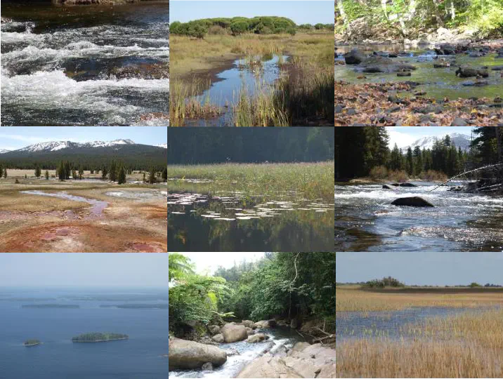 Freshwater habitats across regions (© S. Domisch)
See the online maps of the six drainage basins:
Freshwater habitats and biodiversity require efficient protection measures calling for detailed information regarding the spatial distribution of freshwater environmental characteristics. We developed a data-driven approach to identify environmental characteristics and similarities between freshwater habitats at high-resolution and across large spatial scales. We aggregated land cover, geomorphological and climatic variables across the sub-catchments of the Hydrography90m dataset in six drainage basins across continents and climatic zones. We then employed a k-means cluster analysis and tested the effect of (i) spatial scale, (ii) the choice of environmental variables, and (iii) the combination of scale and variables, on the resulting habitat regionalization.
Our manuscript is in preparation and the following map shows the results of the six drainage basins (click here for the fullscreen interactive map):